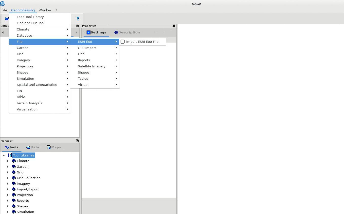
One of the most common issues with respect to debugging geospatial data are exotic data types and broken files. GDAL supports 96 vector and 155 raster formats. However, most people are still tied to crappy user interfaces of many (commerical) GIS. However, SAGA GIS provides a much nicer interfaces and supports probably all formats for file conversion: